Metadata, geospatial metadata, and READMEs
2026-04-15
Introduction to documentation
Many different types (or levels) of documentation:
- Community or team documentation
- Project-level documentation
- Process documentation
- Systems documentation
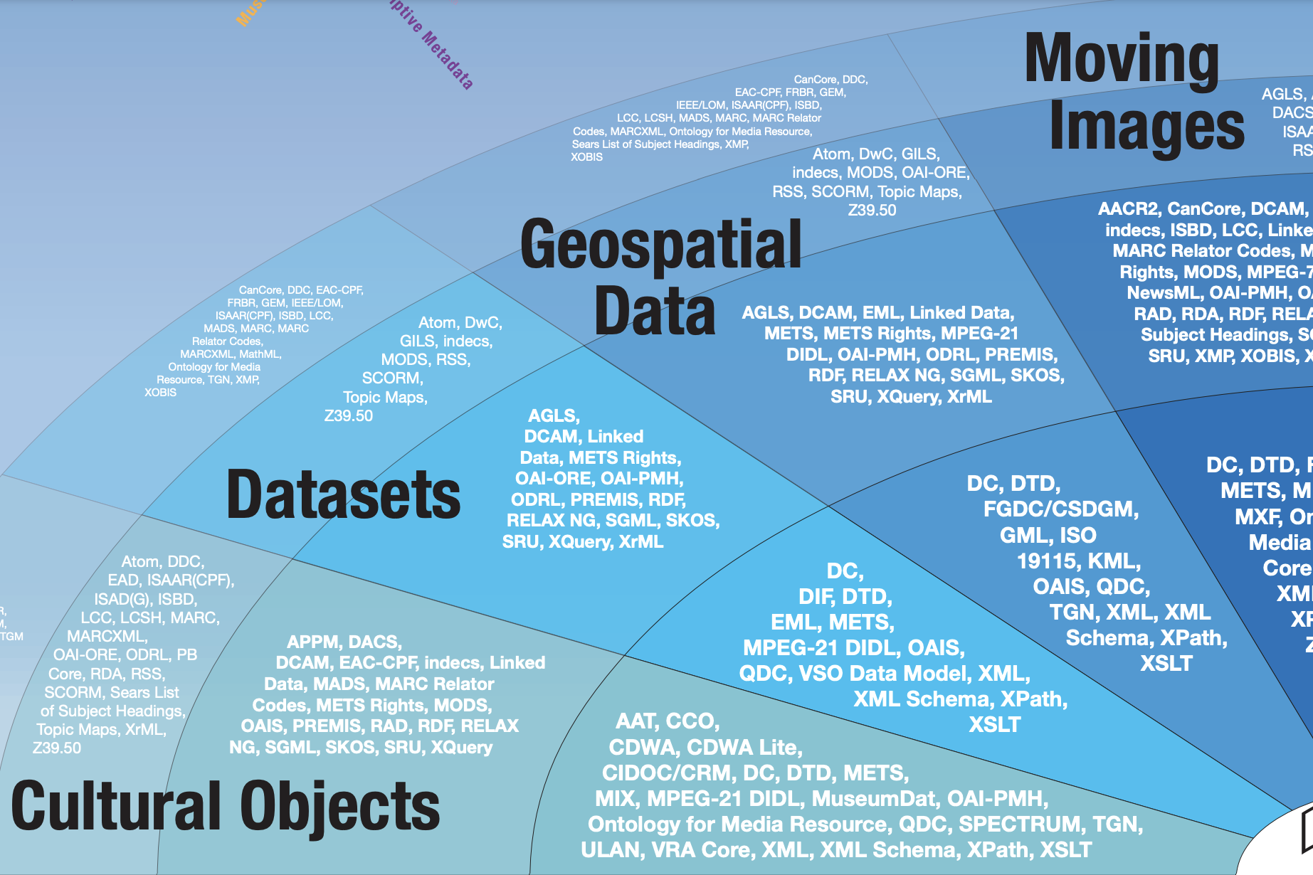
- Data documentation (aka metadata)
![]()
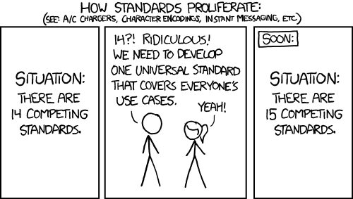
XKCD Comic: Standards
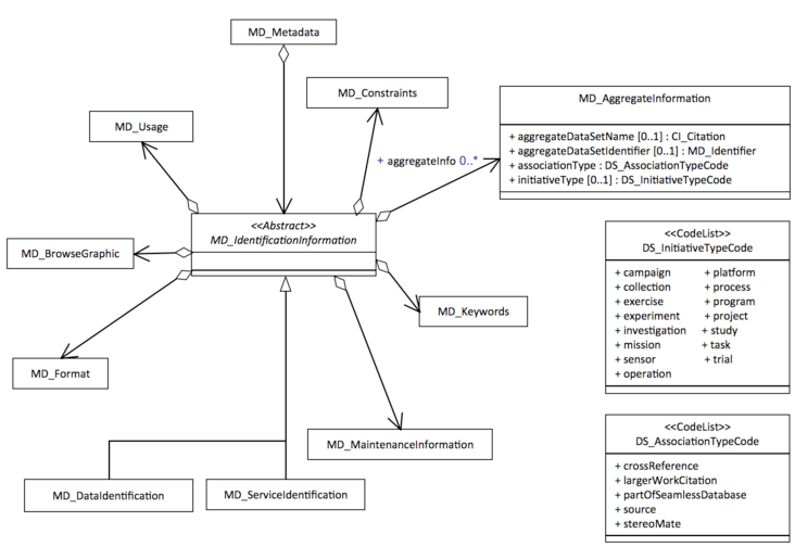
What is a schema?
Metadata standards usually include schemas.
Schemas provide the overall structure for the metadata - provide a set of elements that should be used to describe a dataset.
What are the commonly required elements of a schema?
- Title
- Creator
- Date
- Subject
- Description
- Rights
Different Levels of Data to Document
- Data file or layer
- Collection of files or layers
- Map or data presentation
- Project
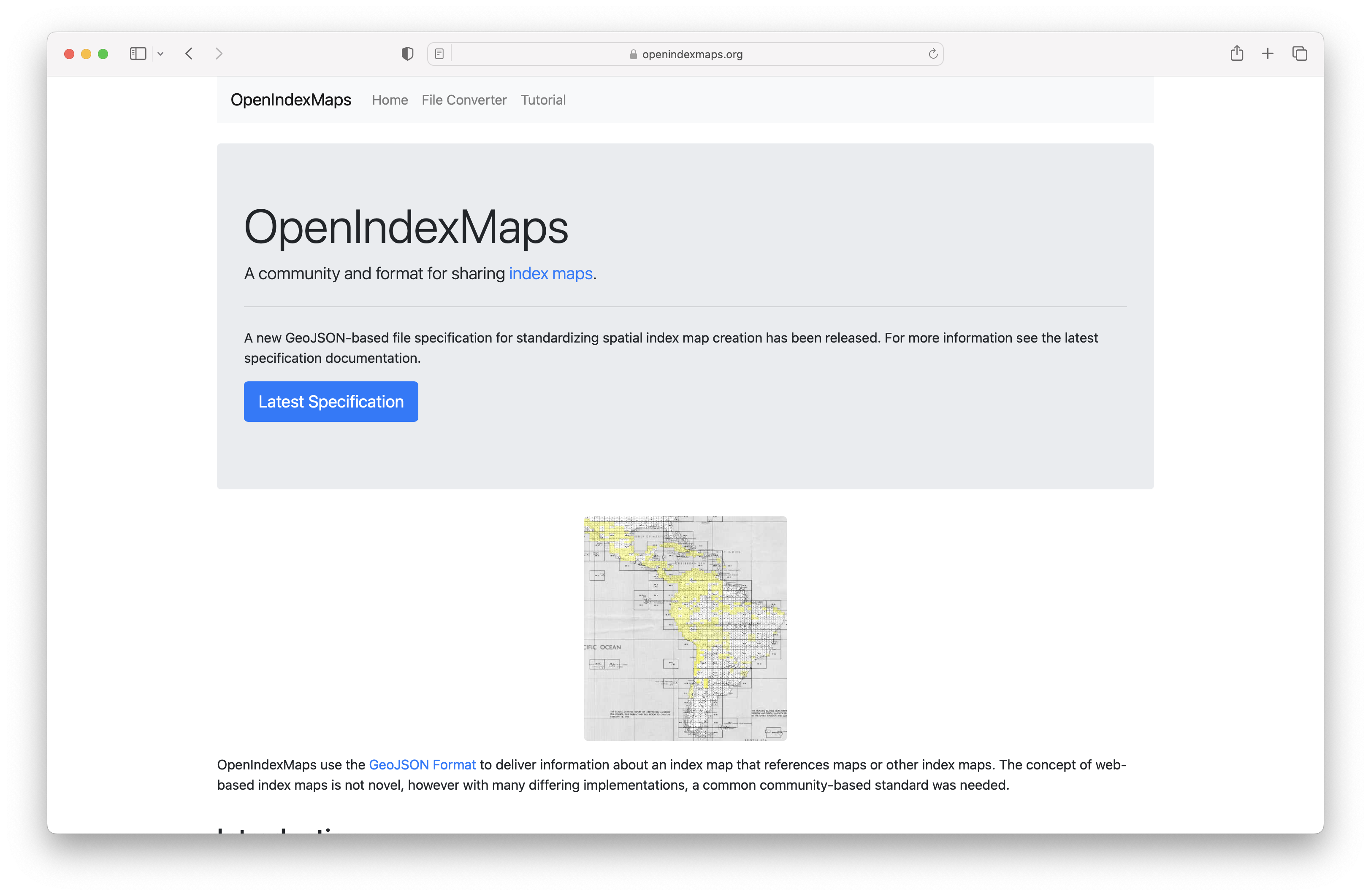
OpenIndexMaps
![]()
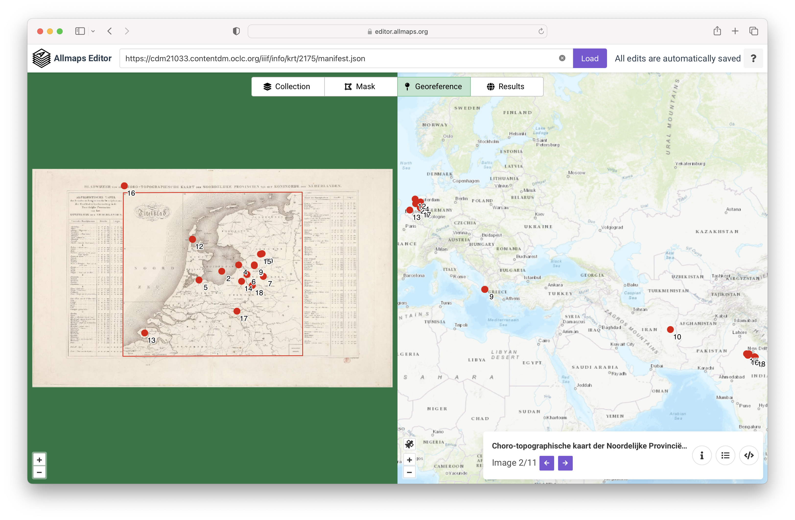
Allmaps
![]()
Useful how-to resources
How to FAIR: “how you can make your research data more FAIR by taking you through six FAIRification practices:”
- Documentation
- File formats
- Metadata
- Access to data
- Persistent identifiers
- Data licences
Tips for Documentation
READMEs and data dictionaries are your best friends
Document your data along the way - saves you time at the end!
Use descriptive file names
Use GIS applications to make metadata
If you’re using geospatial desktop software or web GIS, create your metadata in the platform/software you start in (inheritance). You can usually export the metadata as XML.
What is a README?
A README file is a text file containing key information about your data which gives the reader a general understanding of the purpose and history of your data set, how it is organized, and how it can be used. You can think of a README file as a manual for your data.
You can use it to capture components of your data that are not adequately captured in the metadata contained with your geoprocessing application.
What write a README?
While some of the information contained within your README file may overlap with the content you entered in the metadata within your geoprocessing tool, it is still a good idea to create a separate file that lives outside of your geospatial file.
This is helpful for not only if you share your data with others, but is also beneficial to yourself if you need to revisit your data in the future.
Furthermore, some geospatial formats (e.g. GeoJSON) or other formats you might save your file as (csv) just can’t store metadata like a shapefile or GeoPackage.
Cover all your bases.
README Files - What to include?
Use templates and checklists!
High-level and essential information, e.g. purpose of the data set, where the files can be found
Geospatial-specific elements, e.g. coordinate reference system, geometry type
Workflow/software environment, e.g. software version, data manipulations which occurred outside of your geoprocessing tool, data version history
File naming and organization, e.g. purpose of key files and file naming scheme
Guide to writing “readme” style metadata
Practice: Using the {labelled} package
Practice using the {labelled} package to label variables with labelled::set_variable_labels() and generate a data dictionary with labelled::generate_dictionary().
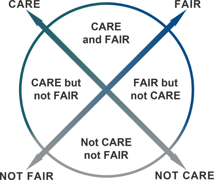
FAIR and CARE
FAIR Guiding Principles (2016):
- Findable,
- Accessible,
- Interoperable,
- and Reusable
CARE Principles for Indigenous Data Governance (2019):
- Collective benefit,
- Authority to control,
- Responsibility,
- and Ethics
Practice: Is this data FAIR?
Take a look at the prompt in our running course notes document and try evaluating whether a dataset is FAIR (Findable, Accessible, Interoperable, and Reusable).