Editing OpenStreetMap and exploring OpenStreetMap data with the {osmdata} package
Session 9
2024-10-23
1 Credit
These slides on OpenStreetMap and exploring OSM data with the {osmdata} package are based on a March 10, 2020 presentation by Jonathan Dandois for MaptimeBmore and the CCBC GIS Capstone.
2 Overview
What is OpenStreetMap?
How do you contribute to OpenStreetMap?
Practice: Editing with the iD Editor
How do you download data from OpenStreetMap?
Practice: Downloading data with {osmdata}
3 What is OpenStreetMap?
Created in 2004 in response to restrictive data sharing by the UK Ordnance Survey
Grew as the “Wikipedia of maps” in response to increasing cost of commercial services like Google Maps after 2011 price hikes
4 Using OpenStreetMap
OpenStreetMap isn’t just a map—it is a “global geodatabase of everything and anything that people add to the map”:
roads, crosswalks, speed bumps, stop lights
restaurants, daycares, playgrounds, cannons
forests, central business districts, boundaries
land cover, gravestones, utility ROWs
5 Who is using OpenStreetMap?
Individual users, developers, and researchers are using OSM data for:
overpass turbo, a web-based data filtering tool for OpenStreetMap, can run Overpass API queries and analyze the resulting OSM data interactively on a map.
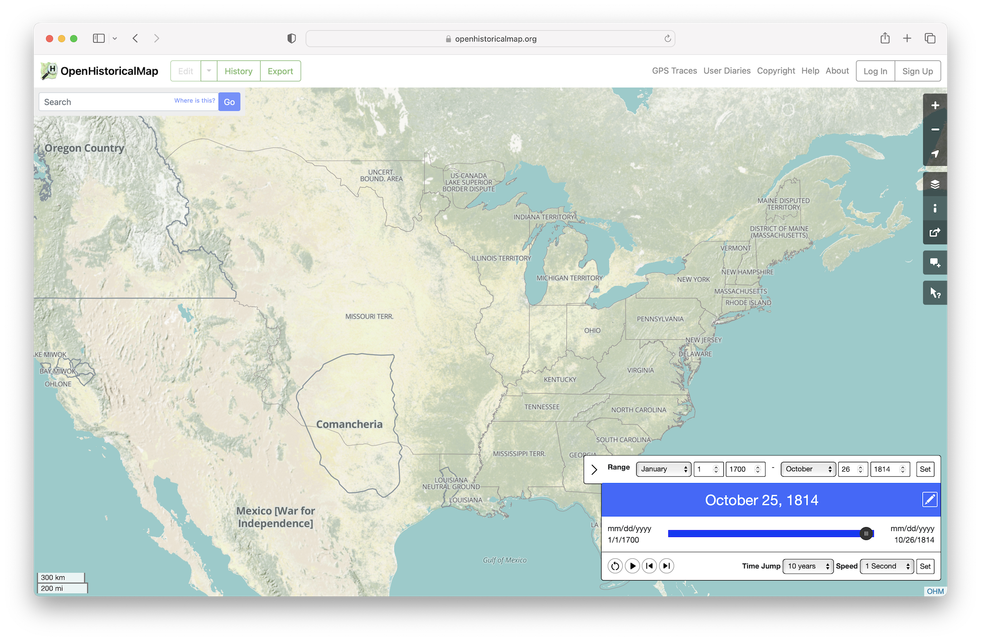
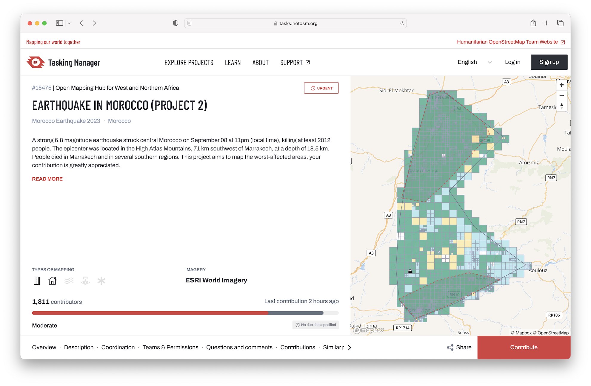
11 Open Historical Map
12 Downloading data with {osmdata}
osmdata is an R package for accessing the data underlying OpenStreetMap (OSM), delivered via the Overpass API.
The package is designed to allow access to small-to-medium-sized OSM datasets (see osmextract for an approach for reading-in bulk OSM data extracts).
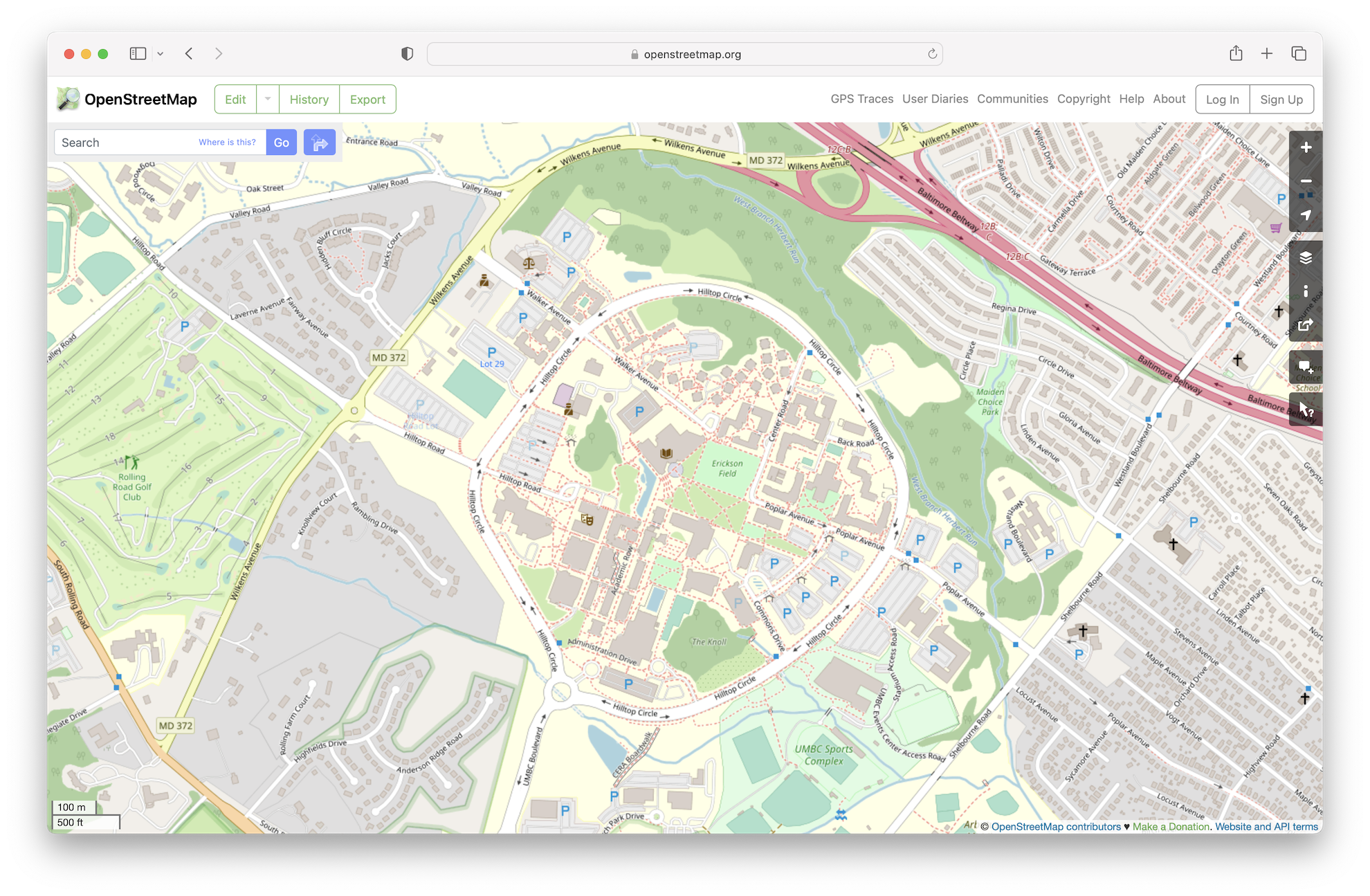

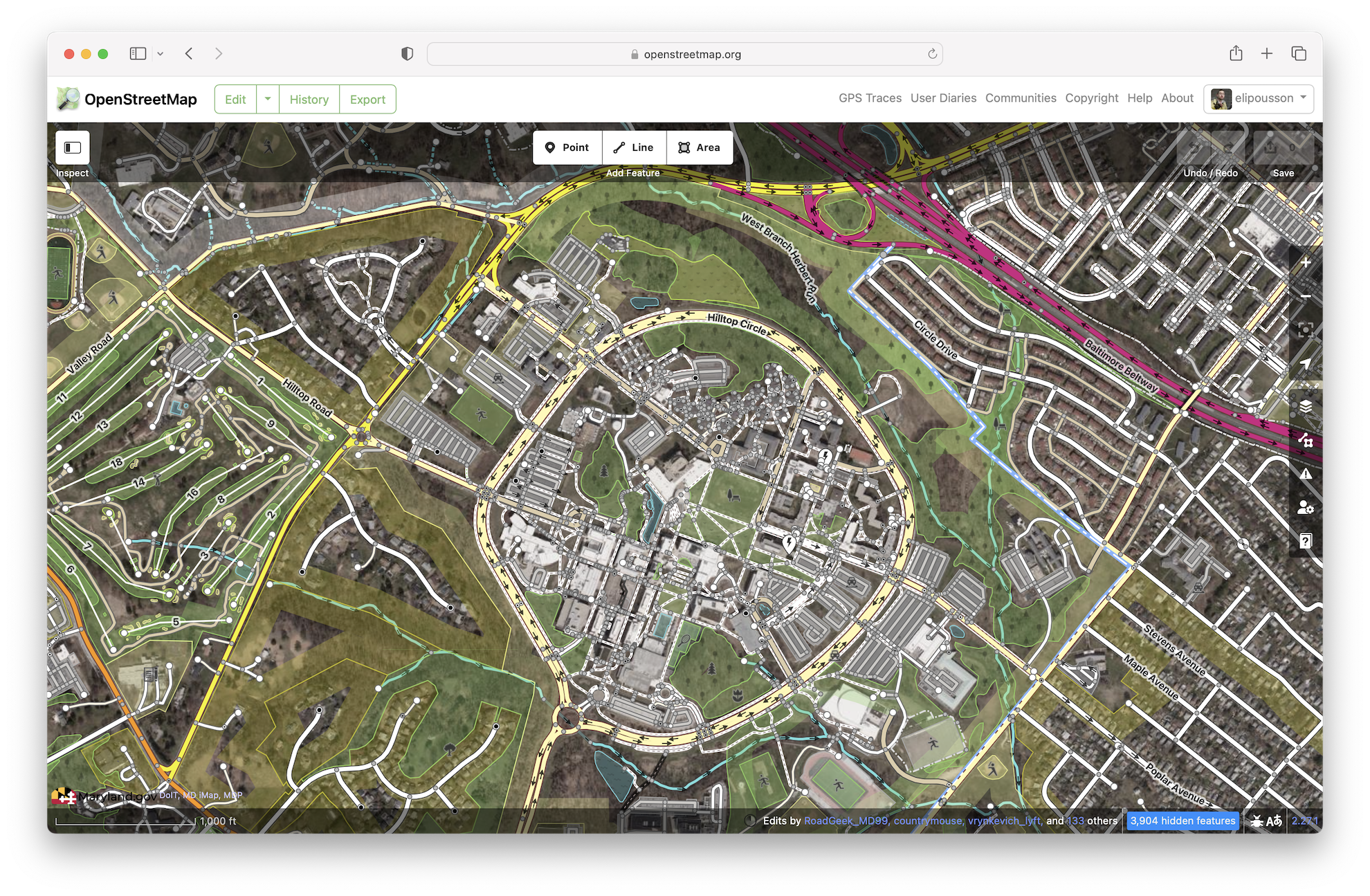 Learn how to use the iD Editor.
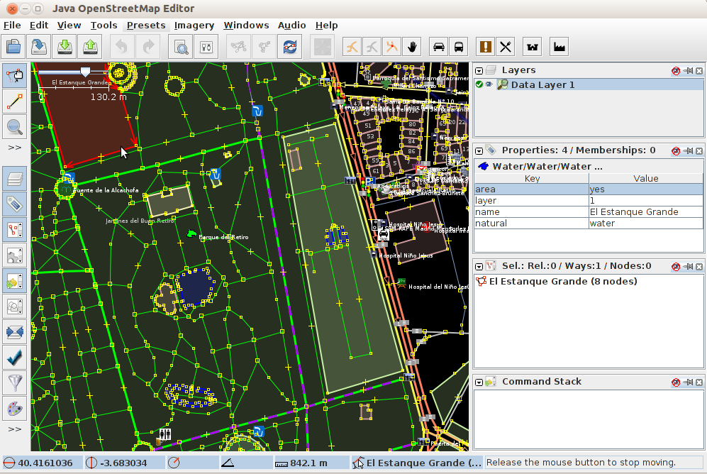
 Try
Try 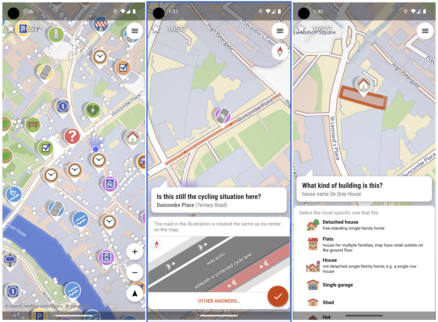
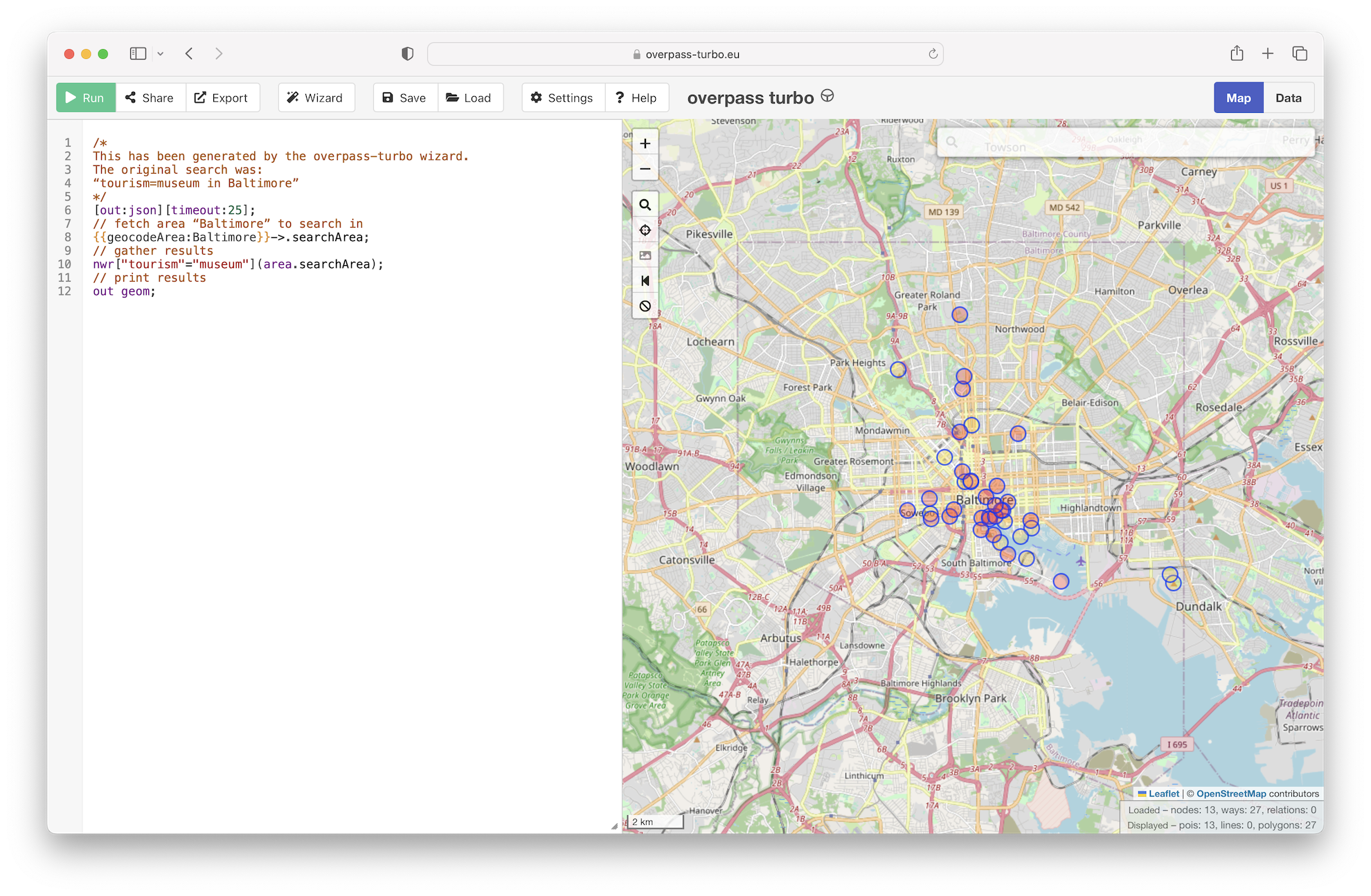 overpass turbo, a web-based data filtering tool for OpenStreetMap, can run Overpass API queries and analyze the resulting OSM data interactively on a map.