Welcome to GES 668: Building Spatial Datasets
2024-08-28
What is this class about?
What is this class about?
- Working with data using R
What is this class about?
- Working with
dataspatial data using R
What is this class about?
- Working with spatial data about places
What is this class about?
- Working with spatial data about people and places
What is this class about?
- Working with
spatial datalocal knowledge about people and places
Why are you here?
How did you get here?
This isn’t a metaphorical question.
Let’s make a map:
- Open this Felt map and trace a route for your commute to campus today
- Start as close or far from home as you like
- Use the “Details” tab to add a “name” attribute (with your name) and a “mode” attribute (e.g. UMBC Shuttle, Car or truck, Bike, etc.)
🥳 Congratulations!
We just built some spatial data.
We’ll come back to it later.
What experiences do you bring with you today?

Why am I here?
A few things about me:
- I first started using GIS tools as a student studying anthropology and historic preservation at the University of Maryland College Park around 2007
- I started learning R as a student at the John Hopkins University School of Public Health in 2019
- I started developing R packages while working at the Neighborhood Design Center in 2020
- I work as a community planner at the Baltimore City Department of Planning (since June 2022)
Communication 📬
- I am not always on top of my email.
- Please post questions to the Discord if you think other students could help (or others may share your question).
- If you don’t get a timely response by email, message me on Discord.
Assignments
- Weekly check-in
- Practice exercises
- Final project
Weekly check-in 📝
- The goal of the weekly check-in is to help you stay on top of the reading and get your questions out for everyone to benefit from.
Practice exercises 🛠️
Each practice exercise will include a mix of questions and coding prompts excerpted or adapted from R for Data Science, Geocomputation with R, and other resources.
Questions may include both close-ended “fill in the blank” style questions and more open-ended prompts.
Feedback on the exercises is welcome!
Final project
The final project includes a few elements:
- A proposal
- A presentation
- A reproducible project repository
The proposal and presentation will both be built with Quarto using the HTML document and Reveal.js presentation formats.
Readings 📚
- What are the readings?
- How can you get the most out of the readings?
R for Data Science

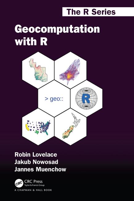
Geocomputation with R

Note that this book also includes extensive information on raster data. This is not a topic covered in any detail as part of this class and can be skipped.
All Data are Local

Miscellaneous
Make this a safe and mutually supportive space
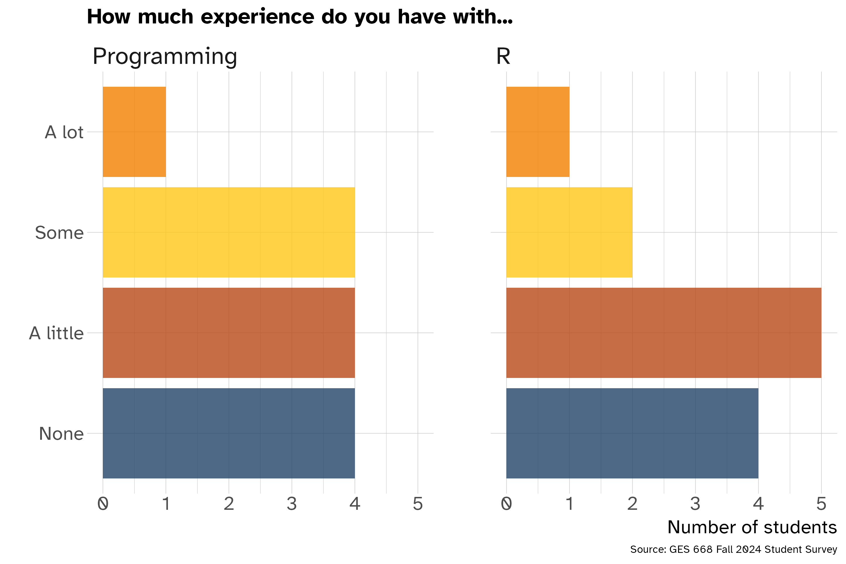
We are all learning! No prior programming experience is required and we should all work to make this an inclusive experienced for everyone.
Attendance and remote participation
Do come to class. You’ll get the most out of this semester if you are present and participating.
Don’t come to class sick! Please prioritize your health and well-being if you are sick or need to care for someone else.
You can participate online if you need to. We can screen share sessions to Discord and record lectures if needed.
Using ChatGPT or other LLM for coding
You are allowed to use ChatGPT or other large language models to help with your project or, if desired, assignments.
You must include information about when and how you use it including your specific prompts and tools used.
You should use these tools with caution. They provide non-working code and describe non-existent functions and packages. Don’t let this tool stand in the way of developing your own understanding of R and how it works.
Welcome again!
